
Article
Article ID: 6297
A Brief Overview of Türkiye Earthquake: Evidence of Higher Peak Ground Acceleration
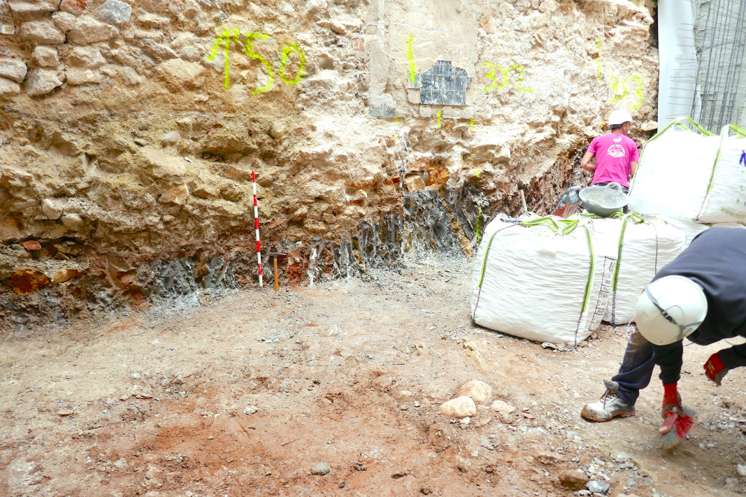
In February 2023, a devastating earthquake sequence struck southern Tü rkiye, marking one of the most destructive seismic disasters in the region’s modern history. The MW 7.8 mainshock, followed by several large aftershocks, produced catastrophic consequences, including extensive structural collapse, widespread ground failure, and severe liquefaction that collectively left millions displaced a...